Here is an excerpt from the timeline of the Nepalese Civil War, mostly related to incidents that occurred in western Nepal. It makes for interesting reading, to say the least.
1996, February: In addition to other police posts throughout the country, one police outpost each raided in Rolpa and Rukum districts. Seventeen policemen killed. Huge amount of high explosives seized at the Holeri outpost in Rolpa. These raids signaled the start of the “People’s War” by the Maoist guerillas.
2000, September: Some 1,000 guerillas attack Dunai, the district headquarters of Dolpo district. Fourteen policemen killed, and Rs.50, 000,000 looted from the government bank.
2002, May: Pitched battles between army and Maoist guerillas at Lisne Lekh, along the boundary between Pyuthan and Rolpa districts, and in Gam village, Rolpa.
2003, October: About 3,000 guerillas attack police training center in Bhaluwang, in Pyuthan district, killing 42 police recruits.
2004, February: A Maoist jungle base in Kalikot district, holding about 5, 000 guerillas, comes under attack, leading to the deaths of an estimated 65 guerillas.
2004, December: Twenty government security personnel are killed in the western district of Arghakhanchi, when the Maoists mount a surprise attack.
2004, December: Sixteen Maoist rebels are killed in clashes with Nepali security forces in the western district of Dailekh.
2005, August: Maoist rebels kill 40 security men in mid-western Nepal.
(Ref: https://en.wikipedia.org/wiki/Nepalese_Civil_War)

What triggered this wave of violence? Many say that the launch of government action in the name of 'Operation Romeo' in November 1995 to quell rising insurgency in the west, particularly in Rolpa and Rukum, and the resultant human right abuses by the armed forces, led to the declaration of an armed revolution, the “People’s War”, by the Maoists in February 13, 1996. And, by mid-1998, more than fifty villages in western Nepal were under Maoist control. The neighboring districts of Rolpa and Rukum were the de facto headquarters of the Maoists, where they retained control throughout the ten-year (1996-2006) insurgency.
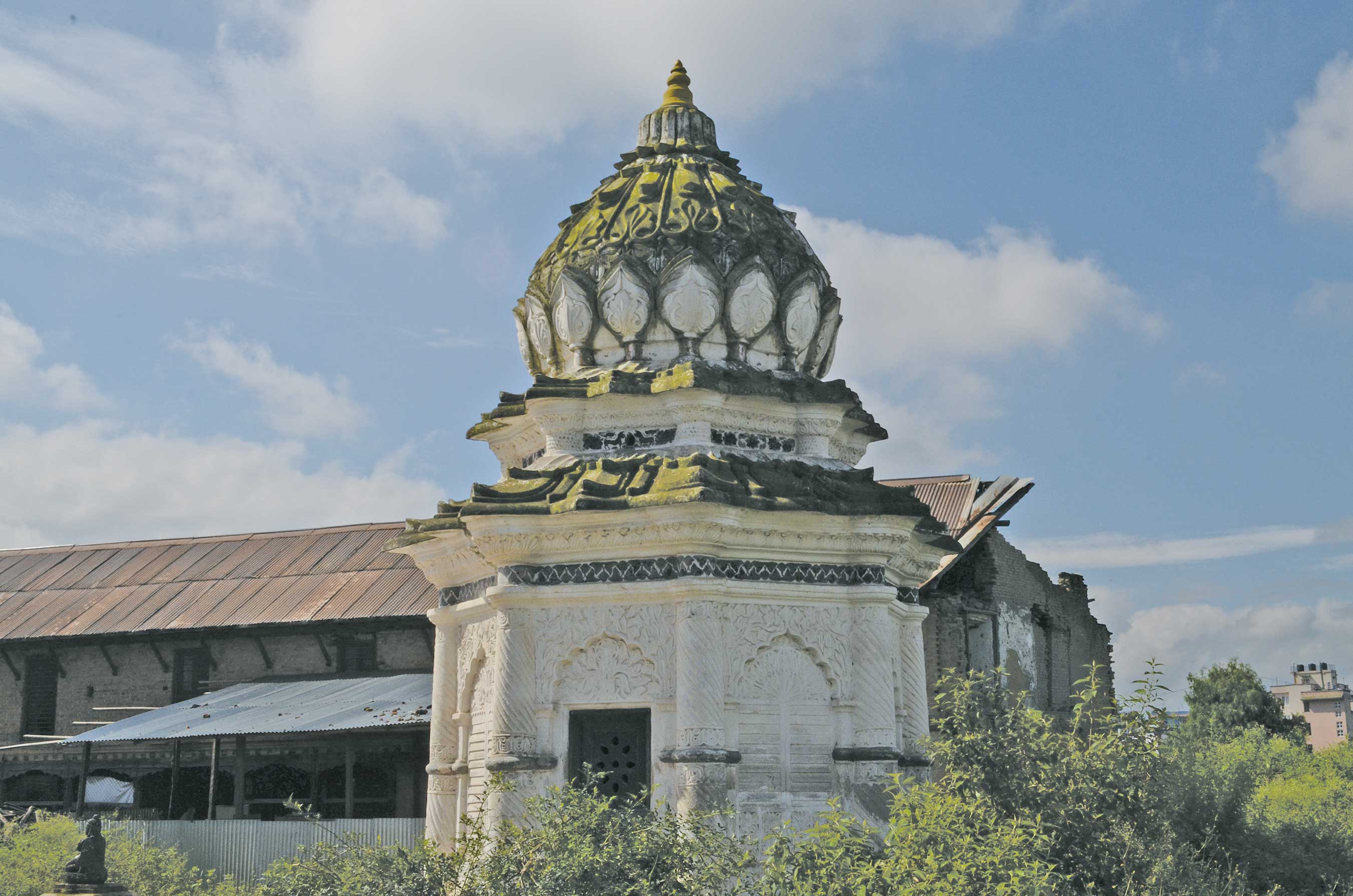
Now, here’s a chance to relive such extraordinary times in Nepal’s history, by trekking through the once unchallenged strongholds of the Maoist rebels. Yes, it’s a trek like no other, starting from its name itself, the “Guerilla Trek”, which is gaining increasing fame by the season. Your trek begins in a small town called Beni (823 m), which is the headquarters of Myagdi district. To get to Beni, you’ll have to drive for five hours or so from the lovely lake city of Pokhara. It is really fitting that the “Guerilla Trek” should start from here, since it was among the first of the district headquarters to fall into Maoist hands. Here’s how it happened. In the dead of night, on March 20, 2004, a heavy force of some 6,000 guerillas took up positions in the surrounding hills. The flaming torches in their hands created a terrifying scenario for those in Beni. Then, at a pre-determined signal, they descended from all sides, guns blazing. Explosive sounds of bombs going off, along with continuous gunfire, rocked the area. Intense fighting ensued between the local police and the guerillas for many hours, and at the end of it all, the town was under guerilla control. This was a very significant victory for the Maoists, a milestone in the ten-year “People’s War”, and they wasted no time in celebrating it by putting government buildings to the torch. So, Beni makes for an ideal place to start your historical trek.
Beni is located between two rivers, the Kali Gandaki River and Myagdi Khola, and is a popular stop for those on the Annapurna Circuit trek (which is visited by around 80,000 tourists every year, thus making it the most popular of all treks in the country). The trail from Beni goes along the boundary of Baglung (1,020 m) and through some villages, including one called Tatopani (its name means “hot water”) that obviously has a number of hot water springs. You eventually reach Jaljala (3,414 m), from where the world’s seventh highest mountain, Dhaulagiri (8,167 m), is on view. The hike has been quite a strenuous one, the trail climbing steadily uphill; however, you get some relief now, with the trail going downhill along the Uttar Ganga River.
By and by, you reach Dhorpatan Hunting Reserve, which is the country’s one and only hunting reserve and sprawls over an area of 1,325 sq km, covering Baglung, Myagdi, and Rukum districts. Keep a sharp eye out for tahr (mountain goats) and bharial (blue sheep) grazing on the high hillsides. The reserve is also home to a variety of Himalayan pheasants, wild boar, and barking deer. Before you reach Dhorpatan, you’ll come across a Tibetan traditional medicinal school, known as Sowa Rigpa, which teaches the subject to interested students. In case you are looking for a cure for some ailment, you could consult the traditional healer (amchi). Your treatment will, of course, be through the use of Himalayan herbs.
Three Guerilla Trek trails meet in Dhorpatan, the two longer routes going north, and the shortest one going west along the Uttar Ganga River heading to the small villages of Taka, Sera, and Bacchigaon, which have mostly Magar and Gurung communities who speak the Kham-Magar dialect. More hot water springs await you as you move along, between Thulo Jarlung and Pelma. You’ll also come across a village called Maikot that’s perched on a ridge-top at 2,300 m; it’s a splendid sight. But, that’s not all that’s to Maikot—in 2000, it was from this village that the guerillas attacked Dunai, the district headquarters of Dolpo district. It was the first district headquarters to be so attacked, marking the growing strength of the Maoists.
There’s a peak around here that will remind you of the famous Fishtail Mountain of Pokhara; it’s called Sisne peak (5,849 m), and till late, it was also a virgin like its more famous sister, until seven climbers finally managed to clamber all over her in February 2013. Continuing on the trail, you’ll soon reach Syarpu Lake (1,305 m), where you take a rest and enjoy the magnificent bounty of nature all around you. You start hiking again, and arrive at Radhijhula, a gateway to Dolpo district, which is where the renowned natural Viagra, Yarsagumba, is to be found on the rugged highlands. A police outpost here was among those attacked by the guerillas in February, 1996, when heralding their rebellion.
You’ll reach Rukumkot soon after. This place has beautiful lakes, the most famous being Rukmini Tal, which is full of lotus flowers in summer, and is therefore also called Kamala Daha (Lotus Lake). The hiking is, needless to say, in most pleasant surroundings, and it’s all peace and serenity all around. But, these were the very valleys that resounded to the sound of bombs and gunfire during those ten terrible years of a war that killed 16,000 and more Nepalis, both Maoists and government security forces, along with many civilians, too. That ridge over Rukmini Tal was in the spotlight in 2001, for it was where the guerillas captured thirty-eight police personnel who had just set up camp for the night, and for the rebels, it was one of their greatest successes.
You will also pass through a place called Thawang (1,975 m), which was a vital stronghold of the guerillas and the epicenter of the rebellion. In fact, according to the experts, Thawang was from where the insurgency actually began. Therefore, it is no surprise that it suffered great losses due to repeated strafing from army helicopters during the war. By and by, in about six hours’ time, you reach Jaljala (3,090 m), and near to it is Dharampani, a ridge-top at an altitude of 3,527 meters that has a memorial built by the Maoist guerillas in honor of slain comrades. This is where your Guerilla Trek ends, and it is an apt setting for you to reflect on all that has passed in these historical and once war-torn hills.