 \
\
“Little by little the look of the country changed; it became far more desolate even than the regions we had just left.”
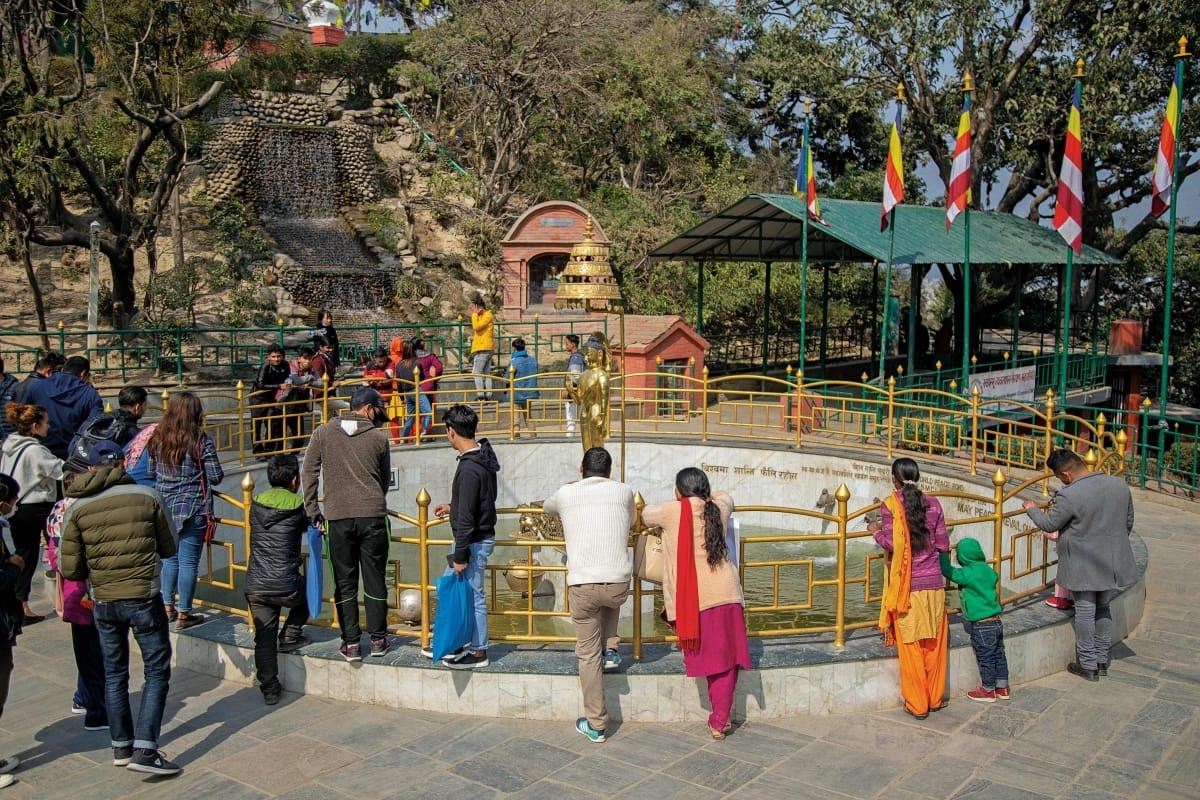
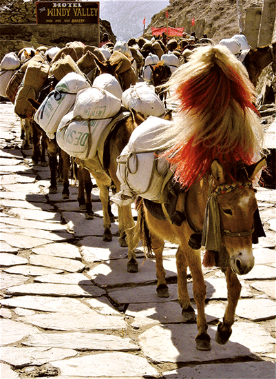
Some of the earliest Western visitors to Thak Khola, the popular trekking and pilgrim destination along the Kali Gandaki River in Mustang District, wrote their impressions of the place and the people for posterity. Three towns caught their eye: Tukché, Marpha and Jomosom. Today these towns often serve as stop-overs for trekkers after crossing Thorung pass (17,700 ft., 5416 m.) on the popular Round Annapurna Circuit trail. Before the mid-20th century, however, the only visitors were trans-Himalayan traders from the north and pilgrims from the south. The traders brought rock salt down from western Tibet to barter for Nepalese rice. The pilgrims sought salvation at Muktinath, the sacred Hindu-Buddhist shrine two days walk NE of Jomosom on the Thorung Pass trail.
My first visit to Thak Khola was inspired by two earlier visitors who appreciated the importance of writing up their adventures. Maurice Herzog wrote ‘Annapurna’ (1952), about the 1950 French expedition’s first ascent of an 8,000-meter peak (26,247 ft.). The Tibetologist David Snellgrove, British, wrote ‘Himalayan Pilgrimage’ (1961) based on a long research expedition through NW Nepal in the mid-1950s. My own journal-jottings from the early 1960s later became the basis for articles in ‘Summit,’ a popular mountaineering magazine of that time.
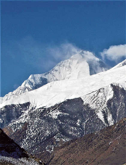
I described Thak as “a high Himalayan valley crammed down between Annapurna and Dhaulagiri. The Kali Gandaki River meanders along the valley floor here at an average elevation of 8500 feet, while peaks soar overhead up to 18,000 feet higher.” Dhaulagiri, at 26,795 ft. (8,167 m.), is the most impressive. Its domineering presence towers over Thak Khola on the way north to Tukche, Marpha, and Jomosom.
Tukché. From the late 19th to mid-20th centuries, Tukche town (8500 ft., 2592 m.) was a major trans-Himalayan trading mart. The ethnic Thakalis had large homes and caravansaries big enough to accommodate traders and their pack animals (horses, ponies, mules and yaks). When David Snellgrove reached Tukché in 1956, he and his colleagues were impressed by the affluence of the locals. Upon entering a Thakali house they “gazed astounded” at what they saw. “We found ourselves in a bright kitchen, spotlessly clean,” he wrote. “At the far side of the room was a stove and hearth of clay neatly coated with a dull red wash. Upon the stove stood pots of polished brass, and other pots and dishes were placed on shelves against the wall. It was astounding because everything seemed arranged for show; one was reminded of similar arrays in some old English hotels.”
Marpha. A little over an hour’s walk from Tukché,at a leisurely pace (faster by horse or, now, by bus, jeep or motorcycle), is Marpha (8750 ft., 2667 m.). When I arrived there in 1964, after a five-day walk from Pokhara, I was impressed by its picturesque setting. “Marpha is like a cliff-dwelling out of the American Southwest,” I wrote. “Its fields of reddish buckwheat spread out away from the adobe houses towards the Gandaki. Long rows of mani-stone piles with the ancient Tibetan inscription 'Om, mani padmé hum' carved on them, greet the traveler on both ends of town... In the fields, the ripe buckwheat was bending in the wind; the harvest had begun.”
Jomosom. Another 1.5 hour walk north is Jomsom, the district town. The trail and motor road take you along the west bank of the river to the Jomosom Airport and to the hotels and shops that line the main street of this relatively new community. Early travelers knew only old Jomosom, on the river’s east bank. Today, the old town has a few guesthouses, school, temple, and government offices. When Maurice Herzog arrived there in 1950, the old town looked much as it had for centuries, with its old style houses and caravansaries. The French climbers had been walking many days up from the Indian border through the Nepal hills, following the long-established pilgrim trail. On reaching Thak Khola they were impressed by the geographic and climatic differences. At Jomosom, Herzog wrote that “Little by little the look of the country changed; it became far more desolate even than the regions we had just left. Northward the contours were softer; hills covered with reddish colored stones, a new luminosity in the atmosphere, and a growing feeling of desert country, showed beyond all doubt that we were approaching Tibet, though the frontier was a good day’s march from this point.”
You’ll have to read Herzog’s and Snellgrove’s books to get the full flavor of their richly descriptive writing. They each provide a rare and remarkable introduction to what this region was like over a half century ago.