High up in the Makalu region, trekking along remote trails, and during the season of the great earthquakes…what an adventure!
 Nepal is a land of breathtaking beauty around every corner, ancient cultures, adventure, and mind-boggling diversity. So, what makes a crossing of one of many of Nepal’s high pass worth writing about? To start, there’s getting there, a 2-3 day journey to Nepal’s far east. Our Kamzang Journeys trekking team flew into Bhadrapur, in Nepal’s steamy terai, to start our trek along the Great Himalayan Trail. Here, in the furthest reaches of southeastern Nepal, the locals speak a mix of Hindi and Nepali, the people are Hindu, and colorful local vegetable markets stock tropical fruits. We prayed to not contract malaria in sweltering, rural Bhadrapur, not having brought along malaria prophylactics for a trek in the Himalaya.
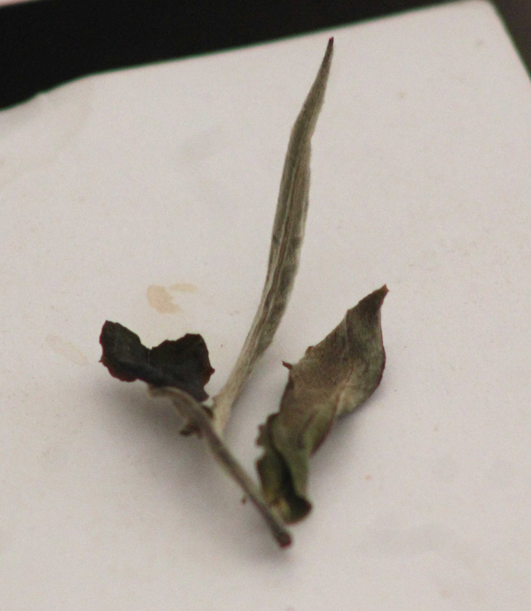
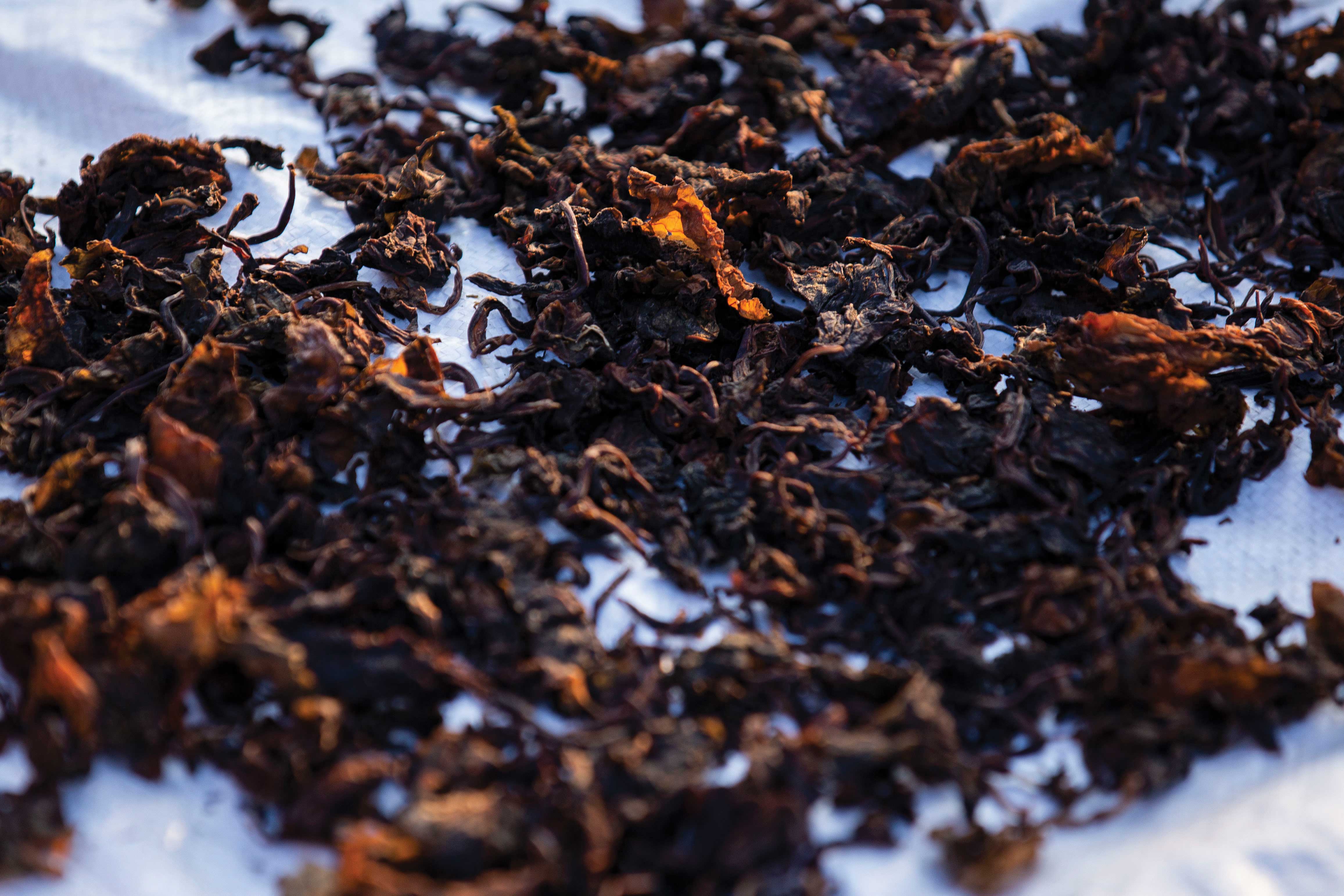
From Bhadrapur, the adventure began as we wound our way up and down narrow, precipitous roads in our hired jeep, which immediately dropped back down to the steep-sided river valleys having switch-backed up 2,000 meters to cross the numerous ridges. (Travel tip: request anti-nausea tablets from your doctor if you’re thinking of attempting this route). Finally, we reached the tea-station of Ilam, one of Nepal’s best-kept secrets for foreign tourists, although well known to Nepalis. If you arrive at the right time of year, you will catch the local carnival, complete with traveling ferris wheel; otherwise, tour the beautiful tea plantations, sample local teas and sweets, and enjoy one of Nepal’s scenic hill-stations.
After another day of undulating roads, we arrived at Taplejung, the start of our epic Kanchenjunga to Makalu Barun trek, part of a new route connecting the highest trekking routes in Nepal from east to west. We started this trek close to the eastern end, and trekked past two of the world’s highest mountains, Kanchenjunga and Makalu, heading towards the eastern approaches to the Everest region. This later route, from Tumlingtar, was the only trail to Everest for early mountaineers such as Shipton in the first half of the 20th century.
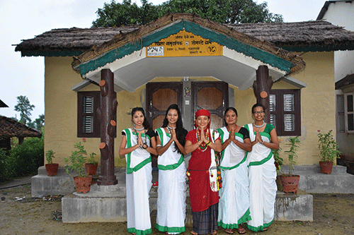
The Kanchenjunga and Makalu regions are inhabited by Limbu, Sherpa, Tibetan, Rai, Gurung, Magar, Newar, and Tamang ethnic groups, the lower sections blanketed in hillsides of cardamom, throughout endlessly fascinating. One of the many highlights of the Kanchenjunga trek was camping at remote Olangchun Gola village, where the Tibetan villagers weave traditional carpets form hand-spun sheep wool, do ‘koras’ around their ancient Buddhist monastery, and make some of Nepal’s best tongba (fermented millet beer).
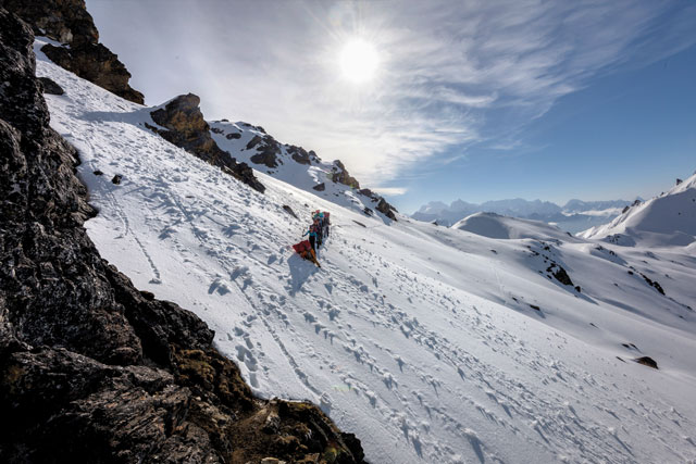
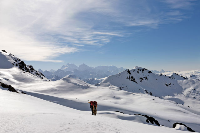
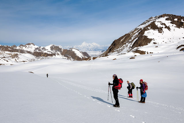
The Lumba Sumba pass, at 5,160 meters, was other worldly, a sublimely beautiful pass featuring the majestic Kanchejunga (8,598 m) to the west, and Makalu (8,485 m) to the east, the third and fifth highest peaks in the world, respectively. We had an early morning start straight up an incredibly snowy slope, our hands on the deep snow steps that our staff broke trail the evening before. After crossing a large, pristine snowfield, with the sunrise casting its rosy glow over the crusted world of white, we trekked up to the first of what we discovered was a double pass. We coined these, the Lumba La and the Sumba La, connected by a somewhat dangerous, narrow, and precipitous trail. After admiring the incredible Himalayan panorama from the top of the pass, the fun began as we glissaded, or alternatively, slided on pack covers, down the western snowfields, an exciting entrance into the Makalu Barun region.
The Makalu region features the Arun and Tamor rivers, massive river systems which flow from the high Himalayan glaciers, and over the millennium have formed deep gorges, now farmed and populated with villages. This part of the trek was much more remote, and our adventure continued as we experienced the second of the two major April and May Nepal earthquakes in a village high above a steep-sided river valley. But, that’s another story, and we continued with our Tamang porters to climb and descend on narrow stone steps hundreds of meters above the valley below, on barely visible trails, a tangle of rocks, tree roots and old tree trunks made into bridges that I could barely look at, let alone cross. With no choice but to continue, we trekked up and down through the shaking landscape, the descents exhaustingly slick, steep, and muddy.
Finally, we again reached green fields of cardamom, and neared the end of our month-long journey along the eastern Great Himalayan Trail, during the month of earthquakes in Nepal…